


In this article
- Exposure B, C and D in plain language
- How do exposure categories B and C differ?
- Is there an official wind exposure category map?
- Is exposure category the same as risk category?
- Why everyday wind sensations can be misleading
- Information that helps the engineer
- What changes can prompt another look?
- Questions to resolve before the category is carried into plans
- Questions to ask when comparing proposals
Wind exposure describes a site’s surrounding terrain for purposes of wind design. It is different from the mapped wind speed and different from the building’s risk category. Understanding that distinction can help owners provide better project information and avoid comparing designs that rely on different assumptions.
The exposure category must be established for the specific project. A street address, photograph or description such as “near the coast” does not by itself resolve the full engineering question.

Exposure B, C and D in plain language
Exposure B is associated with terrain containing numerous closely spaced obstructions of the required size and extent. Exposure C is generally the category used where the conditions for B or D do not apply. Exposure D concerns flat, unobstructed terrain and water surfaces meeting the standard’s criteria. These descriptions explain the categories; they do not assign one to a property.
The extent of terrain upwind and the building’s height matter. A label such as “suburban” is not a substitute for checking those criteria. A terrain-distance example is incomplete without the accompanying height, directional and transition provisions of the applicable standard. Special Florida provisions, including those governing the HVHZ, must also be considered.
How do exposure categories B and C differ?
The important distinction is the relevant terrain conditions, not whether the owner considers the location urban or rural. In a conceptual example, two houses may stand along the same road while one faces a broad open area in a relevant wind direction. The engineer must assess the conditions specified by the governing standard rather than treating the street as a uniform classification.
For otherwise comparable calculations, a more exposed setting can lead to higher wind pressure. That does not make a category a quality rating or a choice that can be negotiated to reduce member sizes. The correct designation follows the design criteria and site conditions.
Why does the surrounding terrain matter?
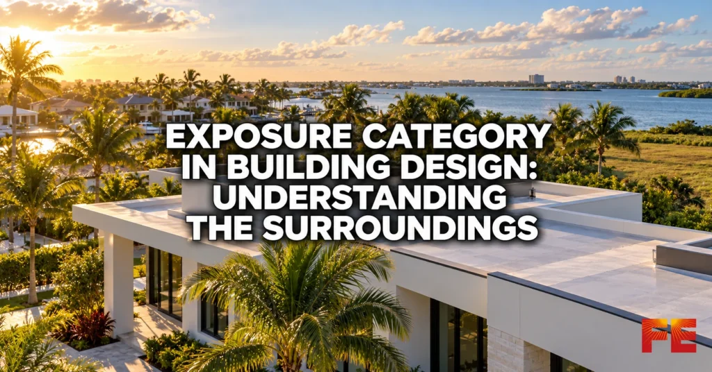
Wind approaching a structure is affected by the terrain it passes over. Developed areas, open terrain and open water present different conditions. The engineer considers the relevant surroundings and wind directions under the applicable design standard rather than selecting a category solely from the nearest object.
A tree beside the building or a neighboring wall does not automatically establish the exposure for the entire structure. Equally, being in a coastal county does not mean every site can be treated identically.
Is there an official wind exposure category map?
A wind-speed map and an exposure assessment answer different questions. Hazard maps provide specified location-based data. Exposure also requires an evaluation of the relevant terrain conditions. An online map or aerial image may assist that evaluation, but a map pin alone does not certify an exposure category.
This distinction is especially important when an online search returns a wind-speed result for an “exposure map” question. Keep the report’s fields separate. Ask who determined exposure, which standard was used and what site information supports the designation.
Is exposure category the same as risk category?
Risk category concerns the consequences associated with building failure and is established under the applicable criteria. Exposure describes terrain for the wind calculation. A low-risk structure is not automatically Exposure B, and an essential facility is not automatically Exposure D.
An emergency facility and a storage structure could be located in comparable terrain while having different risk classifications. That example illustrates independent inputs; it does not assign a category to a particular building without knowing its actual use and the code criteria.
Exposure is one part of the wind-design basis
Exposure works alongside other inputs, including location, building use and geometry. The ASCE Hazard Tool offers location-based hazard data, but a map result is not a complete evaluation of the site or structure.
Our Florida wind-load requirements guide explains the broader information needed. Keeping the two questions separate is helpful: the wind-load guide addresses the overall design basis, while exposure focuses on the surrounding terrain.
Why everyday wind sensations can be misleading
Standing between buildings can feel very different from standing in an open field. Local wind conditions are real, but a person’s impression on one day is not the code’s design exposure assessment. Neither a calm site visit nor a windy afternoon establishes the long-term design basis. The useful evidence is the terrain and building information evaluated under the standard. Photographs should therefore document the surroundings, not try to demonstrate the category by showing trees moving in the wind.
Information that helps the engineer
Send a site plan or survey if available, together with the project address and current drawings. Photographs can help explain the setting, particularly where there is open land, water or a substantial change in nearby development. Identify the direction each photograph faces.
If an existing engineering package lists an exposure category, include the full package. The engineer needs to understand the context and assumptions behind that designation before deciding whether it applies to new work.
What changes can prompt another look?
An addition, enclosure, new roof configuration or different structure may need its own design evaluation. Previously issued documents may address only a specific product, building portion or project phase. They should not be treated as general approval for everything later built on the property.
When requesting a review, describe the proposed work and any known changes to the site. Do not quietly carry an old designation into a new drawing set merely because it was used before.
Questions to resolve before the category is carried into plans
Ask whether the identified terrain extends far enough for the applicable criteria, whether different wind directions need evaluation, and whether special code provisions apply. If an old design uses a different category, seek an explanation of the difference before treating either document as wrong.
The Florida Building Commission’s code resources identify the adopted framework; the complete referenced wind standard contains the technical criteria. The infographic accompanying this guide is a conceptual explanation of the inputs, not a map or a method for approving an exposure category.
Questions to ask when comparing proposals
- What structure and work does the wind-design scope cover?
- Which site information is still needed?
- Will existing drawings and attachments be evaluated?
- What assumptions or limitations will the documents identify?
A useful engineering proposal defines the work and required information; it does not promise a category before the site conditions have been assessed.
Florida Engineering provides structural design services for Florida projects. Send the project location and available drawings to discuss the appropriate scope. Deliverables and timing are confirmed in the proposal.